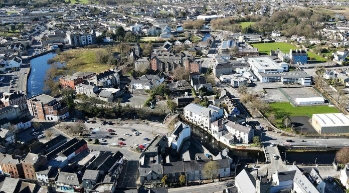
Clare County Council has confirmed that works are underway to provide updated maps outlining the areas benefitting from the Ennis South Flood Relief Scheme.
It’s understood that the Project Team is now focussed on finalising a map, but that some additional modelling may be necessary to inform the outcome of this review.
Locals are awaiting the completion of the maps so they may be used by the insurance industry in determining the cost and provision of flood cover to homes and businesses in the area.
CONTINUE READING BELOW
Senior Engineer with the local authority, Sean Lenihan says the good news is that areas prone to flooding are already reaping the benefits of the work.


